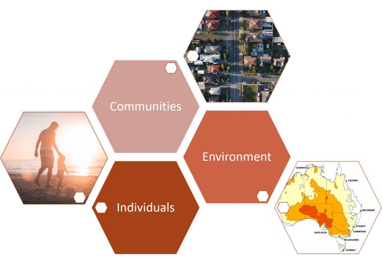
As the climate continues to change, the need to better predict, warn, prepare, and mitigate the impacts of heatwaves becomes more pressing. Heatwave impacts vary between populations and locations, and scientific evidence concerning vulnerable people and places is critical for effective policy, planning, and interventions, especially in a warming climate.
Location-based vulnerability combined with the Bureau of Meteorology's operational heatwave hazard service will support the creation and delivery of comprehensive national heatwave impact-oriented warning services by Australia's meteorological, health and emergency services agencies.
The aims of the project were to:
- Use individual and neighbourhood level data to model the impact of heatwaves on human health in Australia and identify populations and places most at risk.
- Demonstrate the utility of linked social and environmental data from multiple agencies for interpretation of complex, coupled social and environmental problems.
- Engage with stakeholders to explore how project outputs can inform impact warning services, and preparedness and response efforts to reach those most vulnerable to heatwave.
The project contributed to improving warnings, emergency response, and health services for heatwaves by identifying which Australians are most at risk from heatwaves and exploring what can be learnt from large, linked datasets.
The project lead for PEAN was the Bureau of Meteorology, with support from the Department of Health, the Australian Bureau of Statistics, and Geoscience Australia.
Download the project report.